Wednesday, October 29, 2008

I was able to make it back up to Humphreys Peak yesterday with a few people from work.


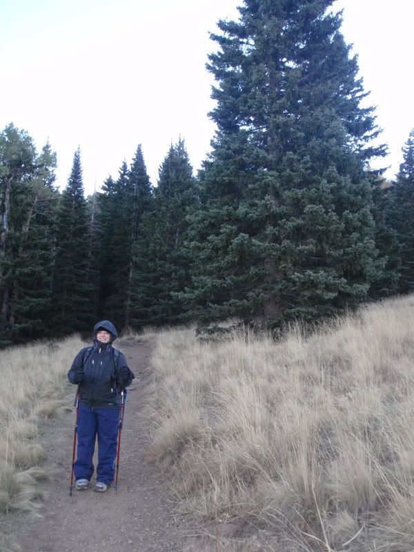
The beginning of the trail, and Humphrey's peak to the right.


By this point it's already getting pretty hard to catch your breath just because of the altitude, and in about another 200 feet we were above treeline.


At the summit (12,633 feet)


You could see the Grand Canyon from the top, it was about 80 miles away, and if you enlarge the picture you can kind of see it at the top.


Thursday, October 16, 2008

Camping at 9,300 feet with temperatures in the 20's


Sunrise view from the field that we camped in


The trail leading up to Humphrey's Peak, the highest peak in Arizona at 12,633 feet


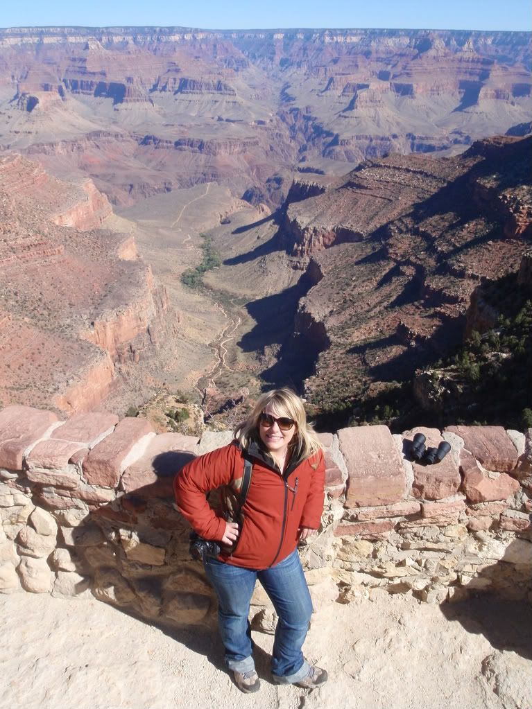
South rim of the Grand Canyon


A tunnel on the Bright Angel Trail


You can see the Bright Angel Trail at the bottom of the canyon in this picture, a few friends and us are hiking that trail next March. It takes you to the bottom of the Grand Canyon to a campsite right next to the Colorado River.


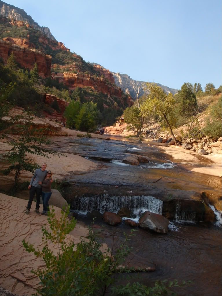
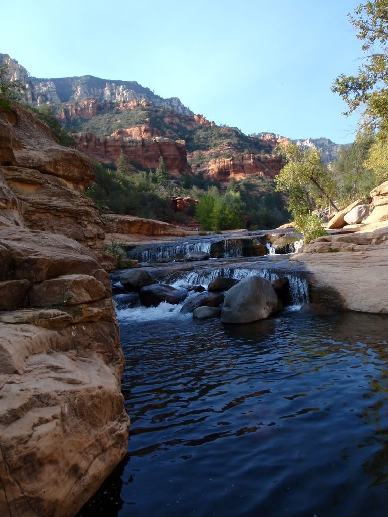
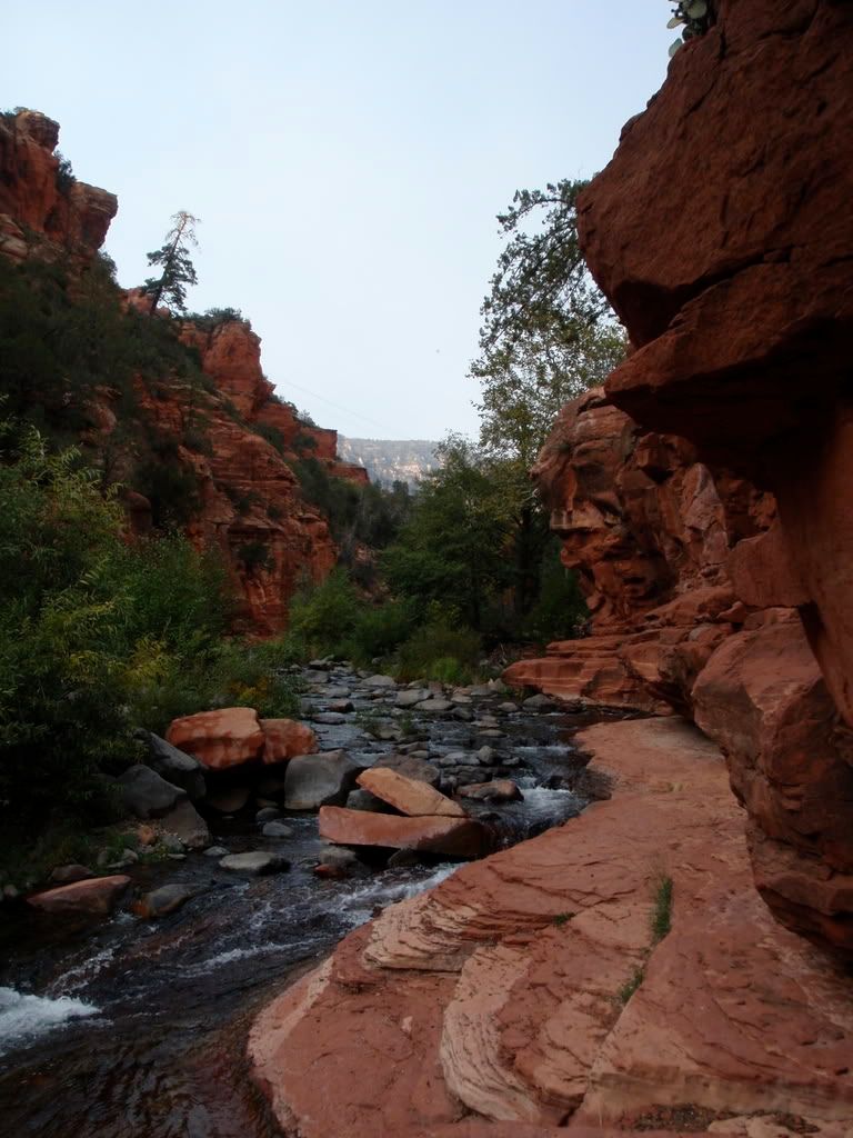
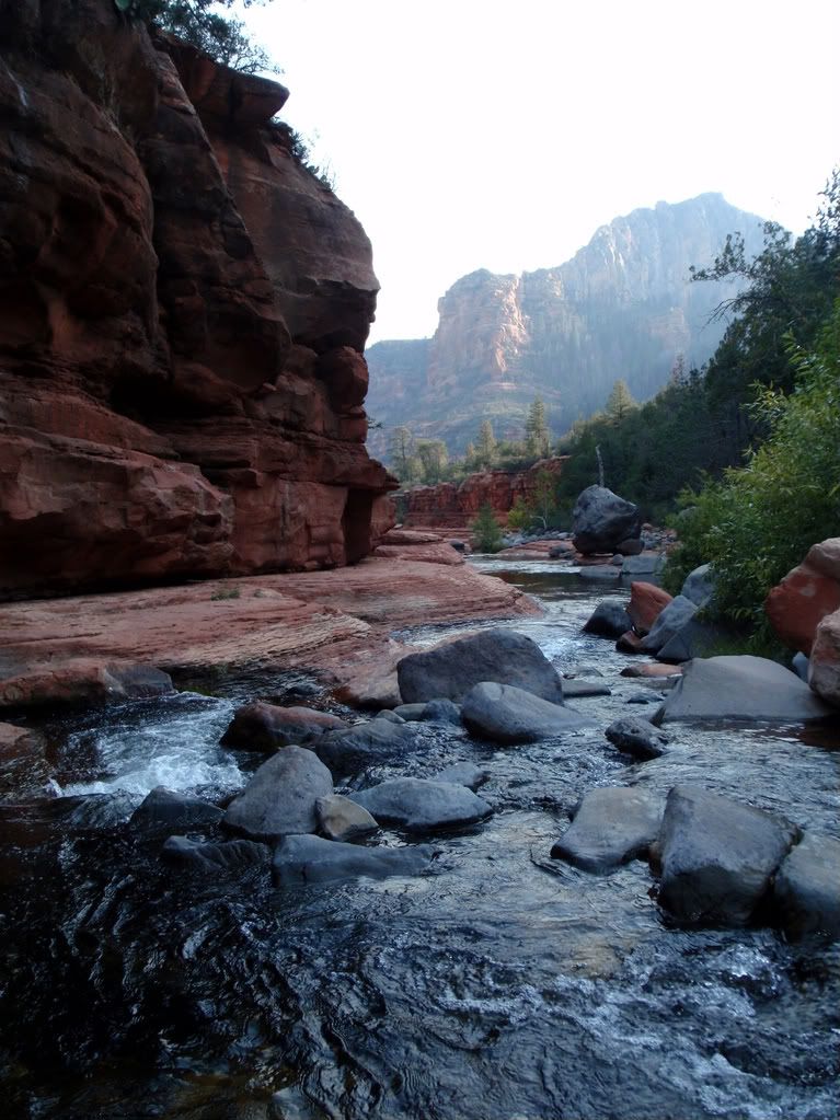
Sliding Rock state park in Oak Creek Canyon


I have to make sure to bring my fishing pole with me next time, there were so many trout in this stream


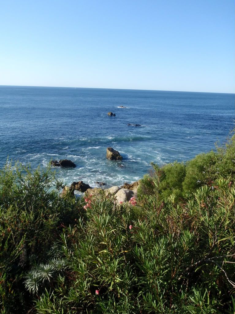
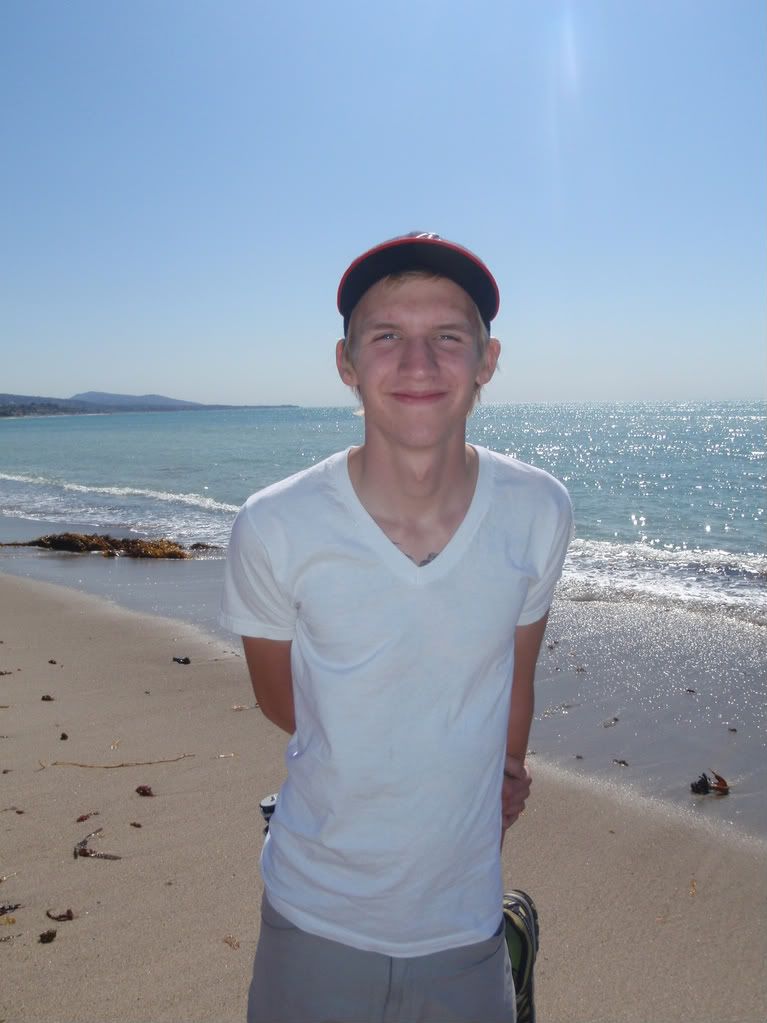
We went out to L.A. to see the Cro Mags, Gorilla Biscuits, H20, and Ignite, and while we were there we figured we'd check out Laguna Beach and a few other places.


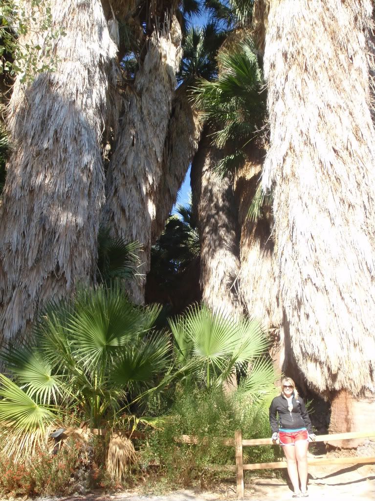
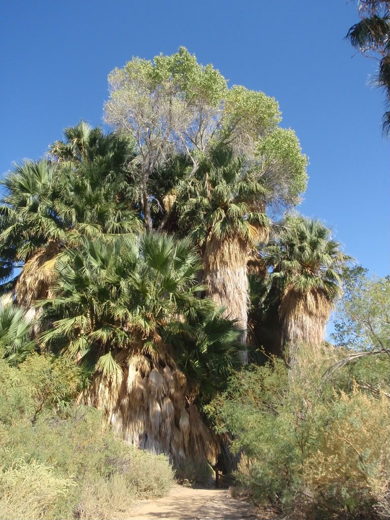
We also stopped at Joshua Tree National Park on the way back